Background
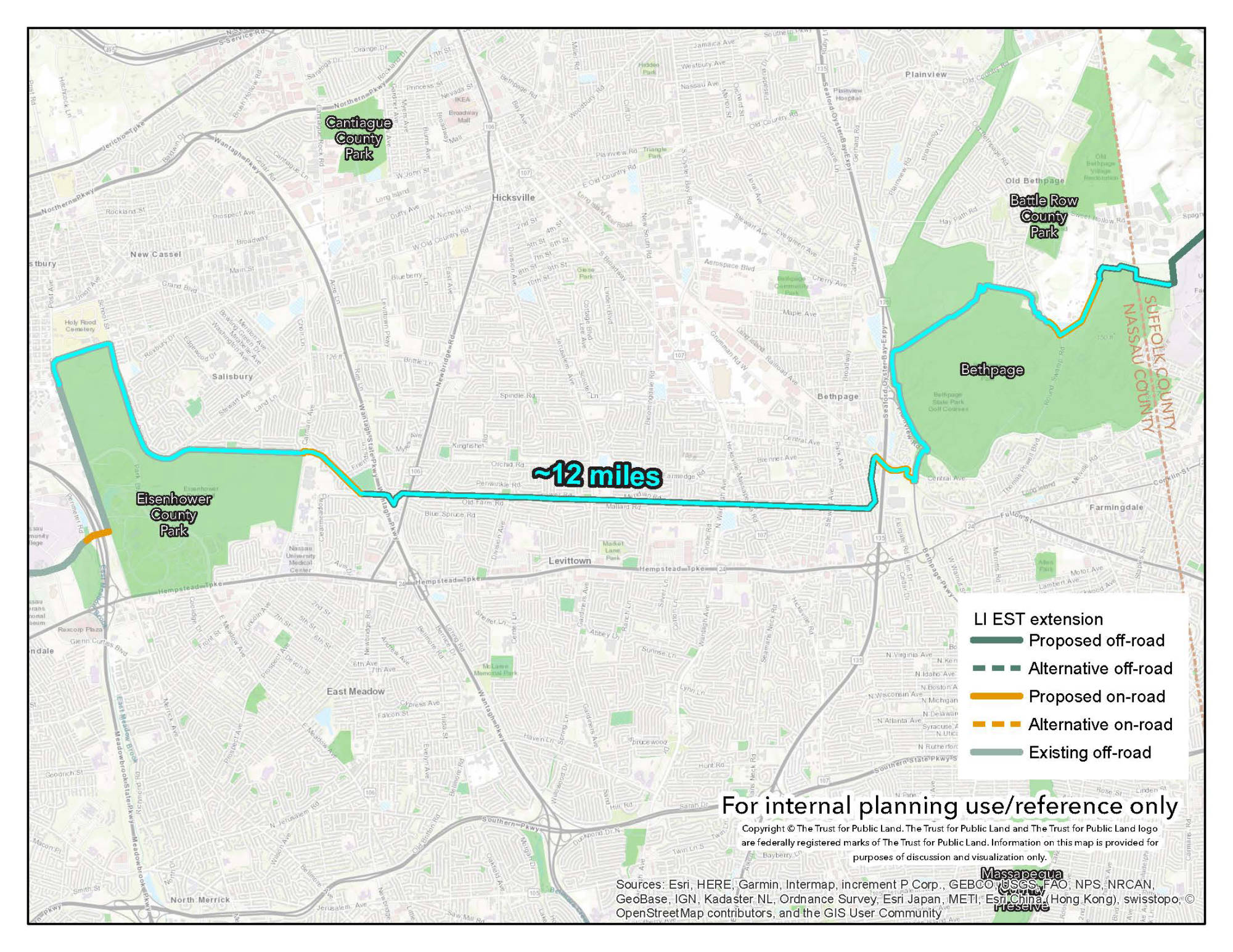
In 2018, UCS and the Trust for Public Land determined a preliminary trail alignment to extend the Empire State trail onto Long Island. In addition to a complete trail alignment, the study identifies a 21 mile pilot segment from Eisenhower Park to Brentwood State Park for conceptual design.

What We Did
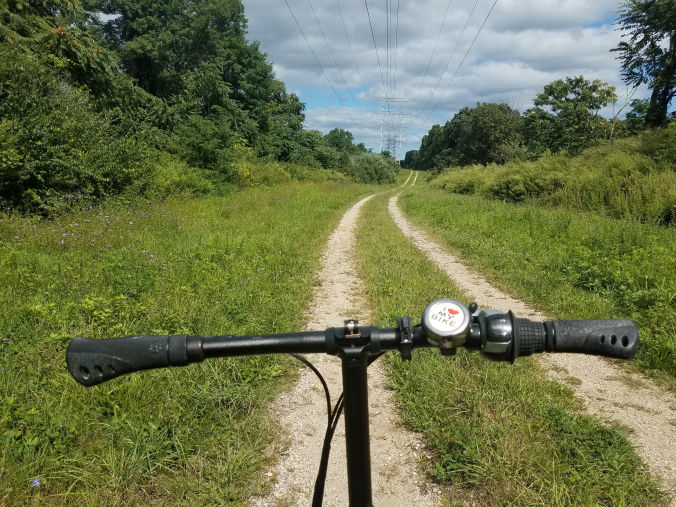
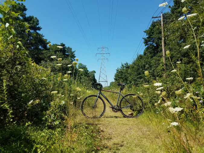
UCS conducted a complete field survey of the 24 mile route to collect data and refine the proposed route based on field conditions. In addition to the corridor alignment, UCS surveyed 50 intersections and created an evaluation framework to assess level of difficulty accounting for traffic volume, street width and crossing conditions. UCS also planned, coordinated and facilitated a public “open house-style” workshop inviting stakeholders from Nassau and Suffolk County to provide in depth feedback through a variety of planned activities.

Results
In conjunction with TPL's team, UCS developed a detailed conceptual plan for the 24 mile route from Eisenhower Park in Nassau County to Brentwood State Park in Suffolk County. This route ties together 2 counties, 10 state and local parks, 8 individual communities, 6 transit stops and a number of existing North/South trails. In addition to the descriptive route narrative, UCS produced a preliminary implementation plan including a detailed cost estimate for proposed improvements. UCS also produced a preliminary operations plan inclusive of user rules, a prospective maintenance schedule and Governance.
